In 1953, Lakehead Pipeline Company installed a pipeline to transport crude oil across the Bad River Reservation and adjacent areas. This pipeline is now called Enbridge Line 5.
In January 2017, the Tribal Council passed a resolution to state that the Tribe would not be renewing its interests in the expired rights of way across the Bad River Reservation and to direct the removal of the Enbridge Line 5 pipeline from the entire Bad River Watershed. In October 2019, the Tribal Council passed another resolution reiterating their 2017 decision. Over the last couple of years, the Mashkiiziibii Natural Resources Department (MNRD) has increased its efforts to understand better the impacts and threats of the Enbridge Line 5 pipeline on our waters, wildlife, fisheries, plants, and other natural resources
The following virtual tour will specifically highlight the interaction between the natural meandering of the Bad River and Enbridge’s Line 5. If you want to learn more about this and the other issues with the Enbridge Line 5, please view this document: Enbridge Line 5 Issues Within the Bad River Reservation. For the most updated information about these efforts please visit the Mashkiiziibii Natural Resources Department website about threats and challenges.
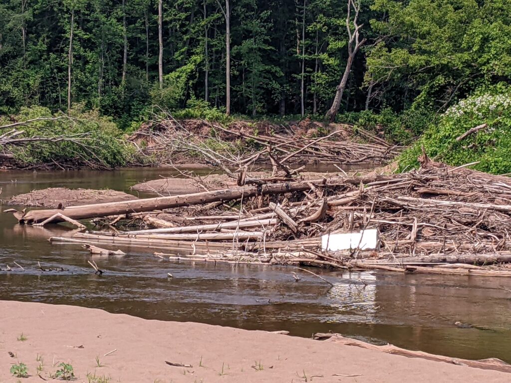
This photosphere is a ground view of the river shown in this photo. As the river naturally meanders, the slope and hill supporting the pipeline is eroded away. In the photo, the water level is much lower than the maximum it experiences during the rainy seasons. As you can see, many trees have fallen into the river and have been carried along with the water. This is because the river has worked to undercut the banks removing the support for the trees. This is a similar process to what will happen to the pipeline if it isn’t removed.
This series of photos show an aerial look at what is happening. As the horseshoe-shaped river closes in, the pipeline will be undercut and lose support.
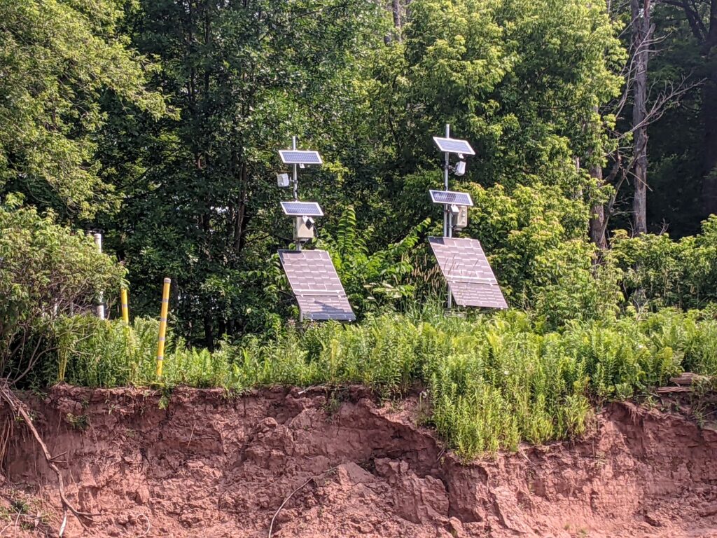
These solar panels power the monitoring equipment for the pipeline. This data is analyzed to track the progress of erosion.
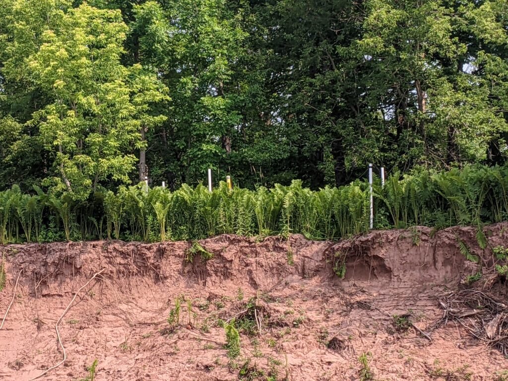
These white poles indicate either side of the pipeline. As you can see, they are quite close to the eroding slope. More erosion has taken place since these pictures were taken.
Another angle of the eroding shores on the river.
A fridge washed down the river.
The presence of a fridge is yet another sign of how powerful the river is during the rainy season. The river washes everything downstream with massive force, so naturally, it erodes the slopes and edges of the river as it flows.
View of the river from a hill.
Deposition area of the river.
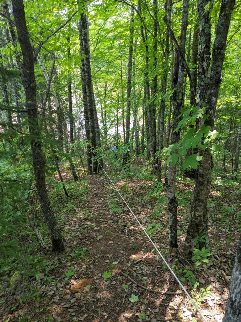
The path to the river bed.