
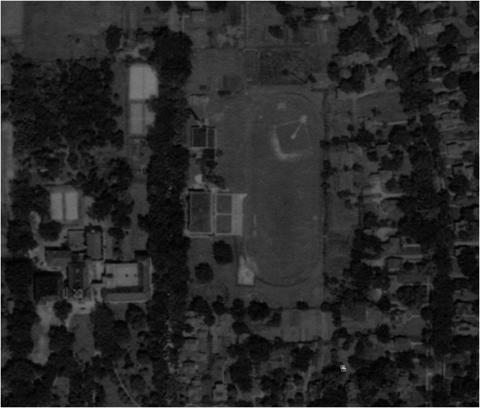
The Wisconsin Historic Aerial Image Finder allows users to experience Wisconsin from the air as it looked in the late 1930s. The web site provides provides free online access to over 38,000 aerial photographs of Wisconsin that were taken from 1937-41 by the U.S. Department of Agriculture and U.S. Geological Survey.
The photos, which are housed in the Robinson Map Library at University of Wisconsin-Madison, were digitized and indexed in a three-year project funded by the Ira and Ineva Reilly Baldwin Wisconsin Idea Endowment at the University of Wisconsin-Madison.
The Wisconsin Historic Aerial Image Finder can be searched by city, county, street address or geographic coordinates. Once the photos are located, the images may be downloaded in JPG or TIFF formats in varying resolutions.